


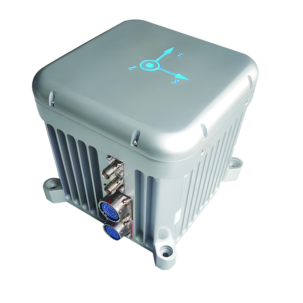
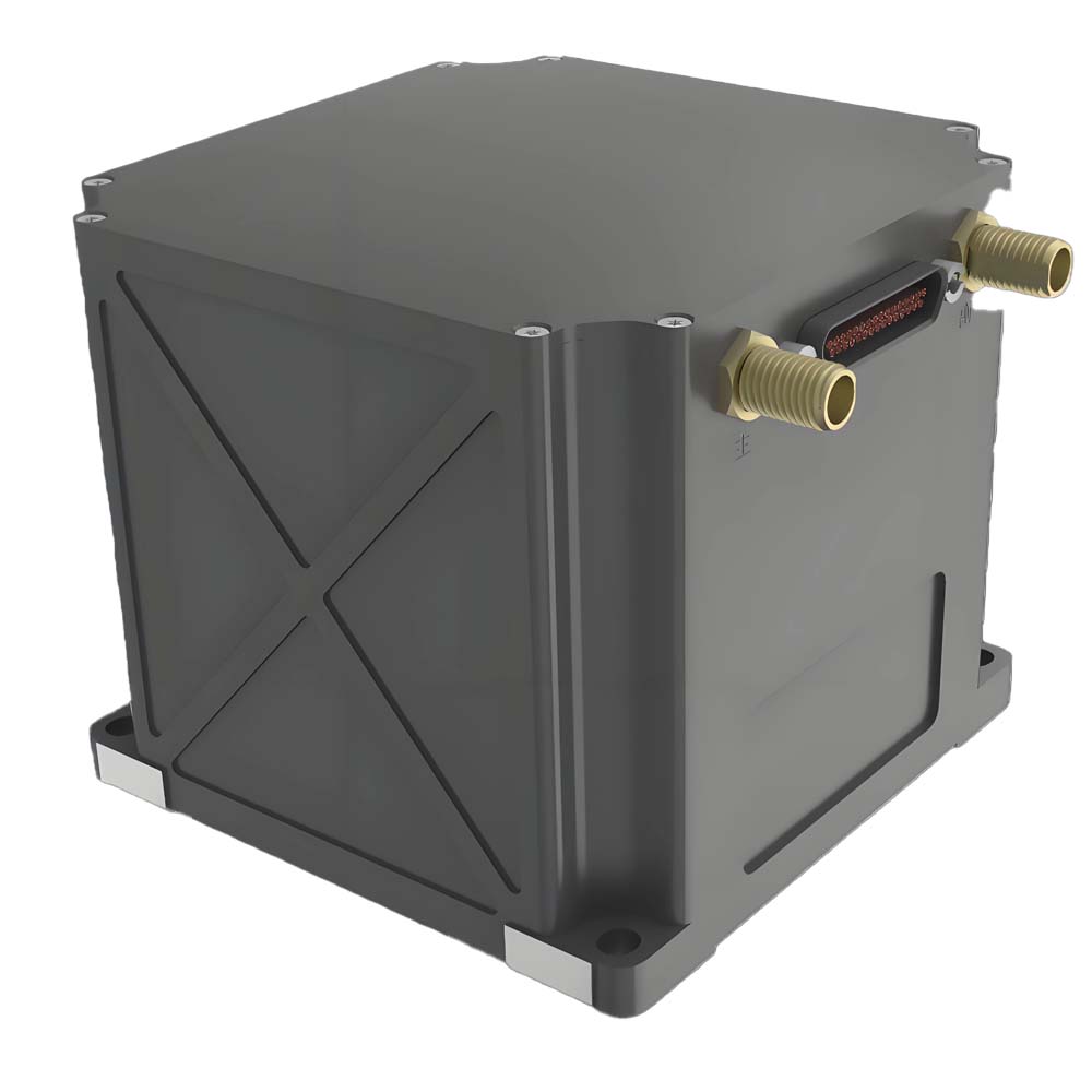
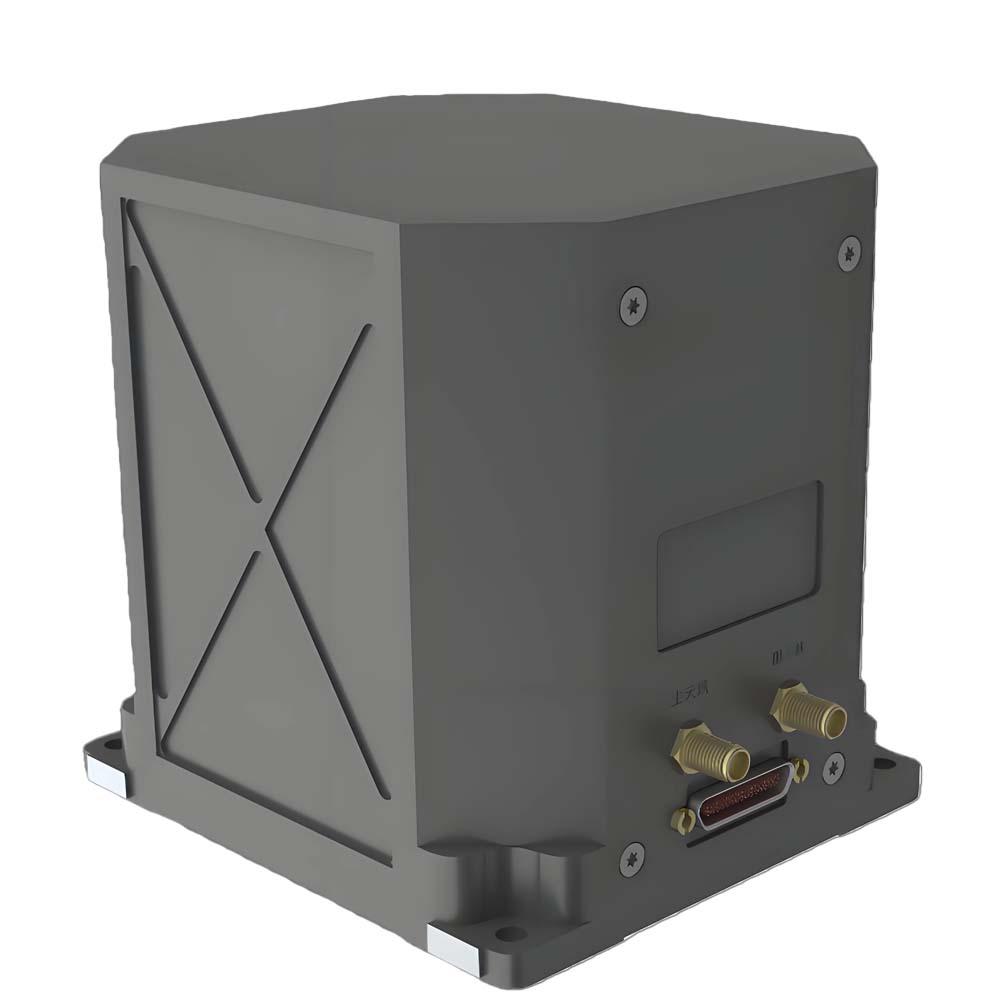
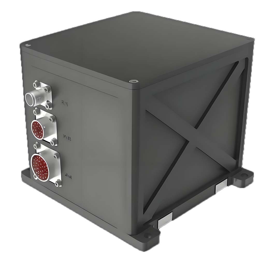
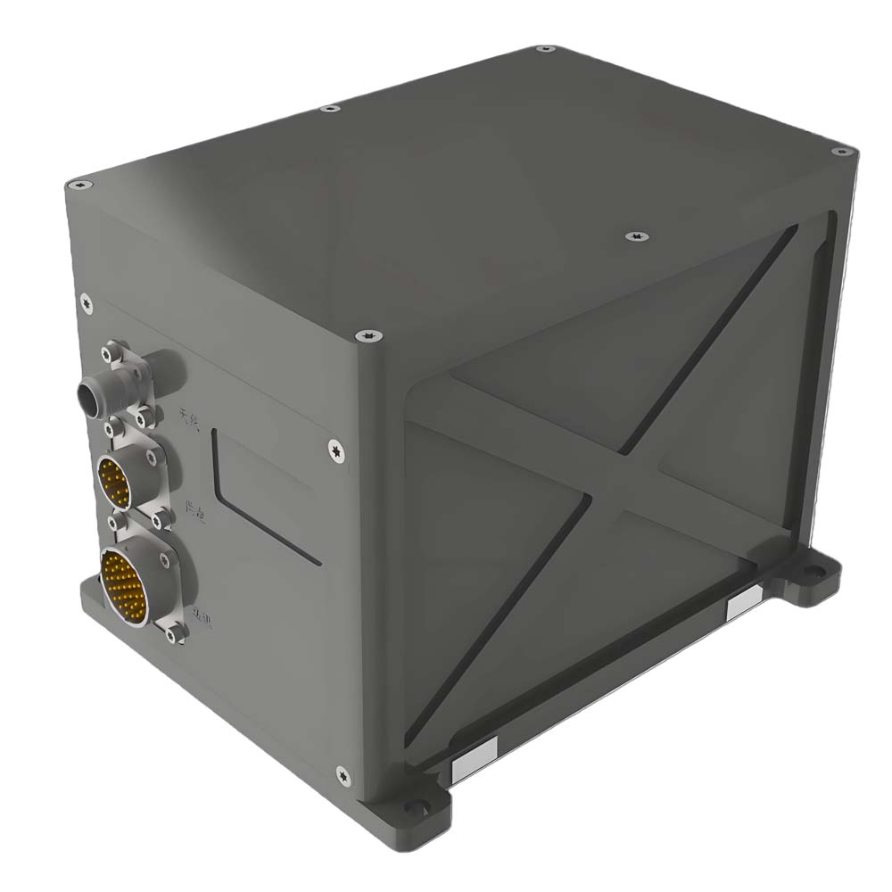
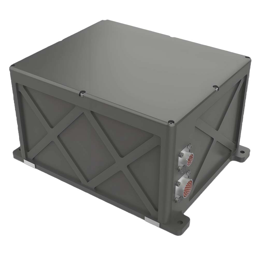
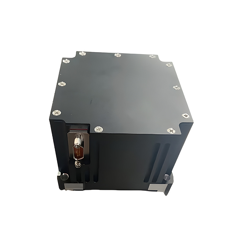
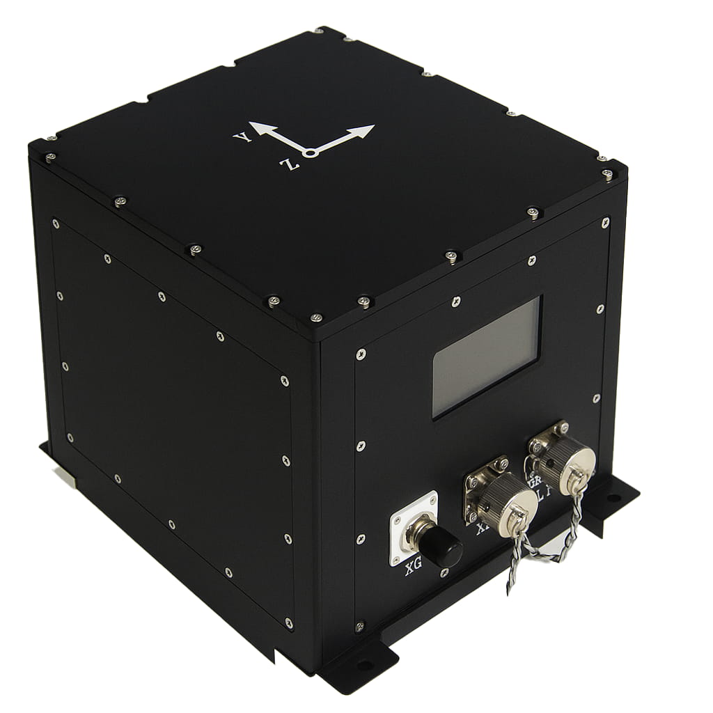
IF4070光纤惯性导航系统主要由微型光纤陀螺仪、石英柔性加速度计、电源模块、采集计算模块和卫星导航模块组成。它具有体积小、重量轻、精度高等特点,适用于中小型无人机、光电吊舱、水下机器人等多种应用。其主要特点如下:
→ 寻北精度可达0.08°;
→ 支持多种工作模式,包括纯惯性模式、惯性/卫星集成模式、惯性/DVL集成模式、惯性/里程计集成模式、惯性/视觉集成模式和船用陀螺罗经模式;
→ 具备自动寻北、转移对准、卫星辅助移动基准对准、高精度后处理、垂荡测量等功能;
→ 内置减震器,可适应振动环境;
→ 内置存储卡用于存储测量数据,可通过 USB 或网络端口访问;
→ 内置多种通信协议;串口波特率和输出协议可配置;
→ 工作温度:-45℃~+60℃;
→ 配备多种接口,包括 RS422、RS232、以太网和 PPS 输入/输出;
→ 电源:12V~36V,功耗 <15瓦;
→ 重量:2.6公斤;
→ 尺寸:132mm×116mm×119mm(不含连接器和安装凸耳)
零件编号 :
IF4070订单(最小起订量) :
1产品系列及参数
| 项目 | 技术指标 | |
| 航向对准精度 | 静态对齐: | |
| ||
| 集成导航:0.02° (1σ) | ||
| 纯惯性保持:0.02°/h (1σ) | ||
| 集成导航保持:0.01°/h (1σ) | ||
| 姿态校准精度 | 对准精度:0.005°(1σ) | |
| 纯惯性导航:0.02°(均方根值) | ||
| 集成导航:0.005°(1σ) | ||
| 速度精度 | 0.02米/秒(均方根值,集成导航) | |
| 1.5米/秒(均方根值,纯惯性,1小时内) | ||
| 位置精度 | 水平精度≤1.5米,仰角精度≤2.5米(均方根误差,卫星单点定位综合导航,信号良好); | |
| 水平精度≤1.5厘米+1ppm,仰角精度≤2.5厘米+1ppm(均方根误差,卫星RTK集成导航,链路良好); | ||
| 0.3%D(惯性/里程表集成导航,D 代表行驶距离); | ||
| 0.3%D(惯性/DVL 集成导航,D 代表行驶距离,DVL 精度:0.3%); | ||
| 2海里(1小时内纯惯性导航) | ||
| 校准时间 | <5分钟(地面静态基准对准) | |
| <10分钟(系泊静态基座对准) | ||
| <15分钟(移动基座校准) | ||
| 陀螺仪 | 范围 | 500°/秒 |
| 表现 | 零偏差稳定性 | 0.2°/小时(10秒,平稳) |
| 随机游走 | 0.001°/h1/2 | |
| 尺度因子非线性 | 10ppm(1σ) | |
| 加速度计 | 范围 | 30克 |
| 表现 | 零偏差月度重复性 | 20微克(1σ) |
| 尺度因子非线性 | 20ppm(1σ) | |
| 工作温度 | -45℃~60℃ | |
| 电磁兼容性 | 满足空军飞机GJB151B的相关要求 | |
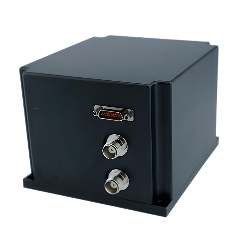
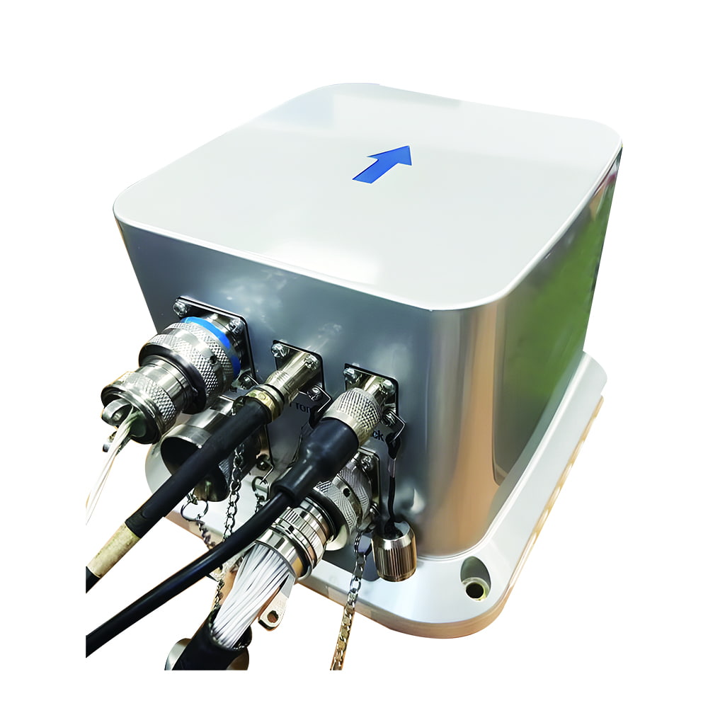
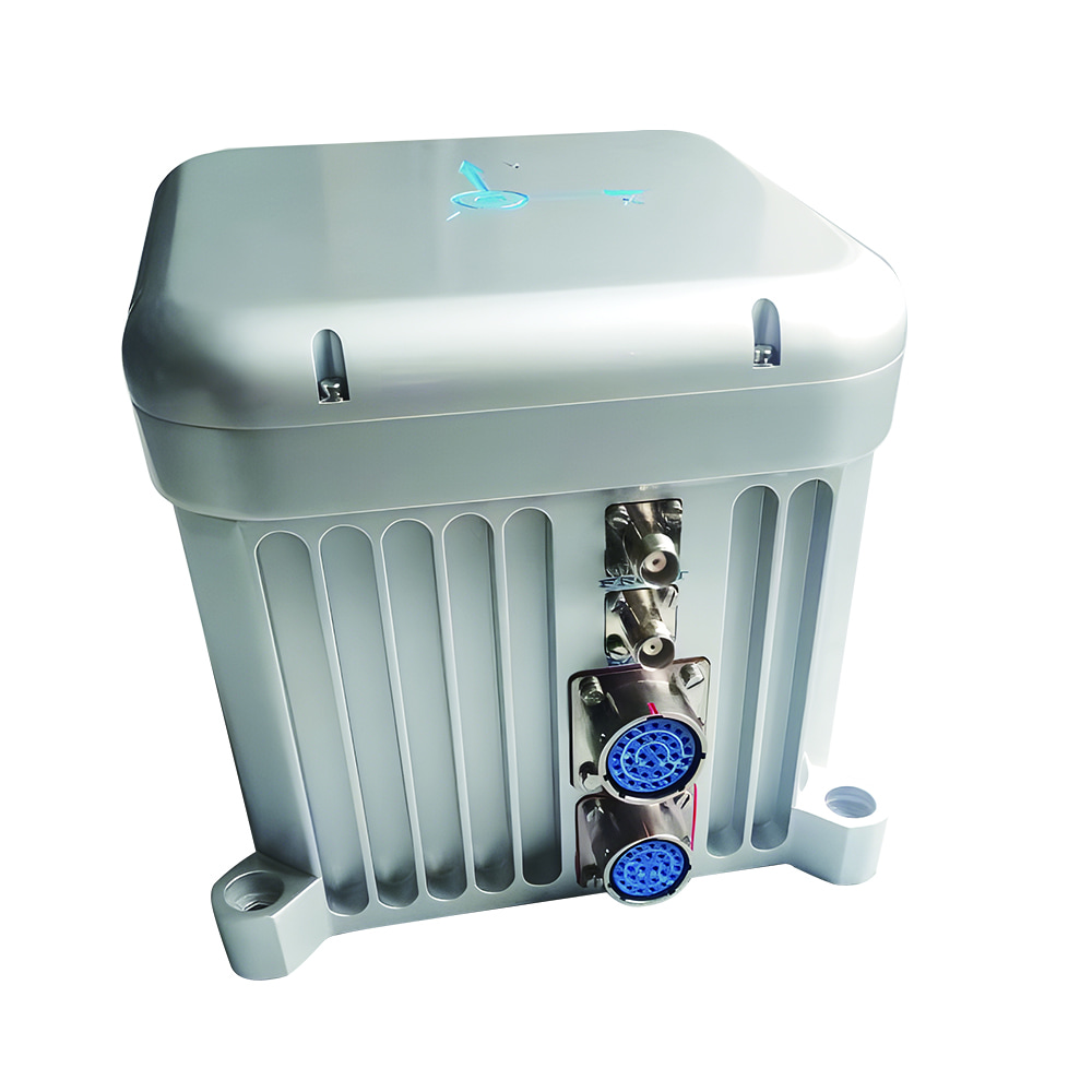
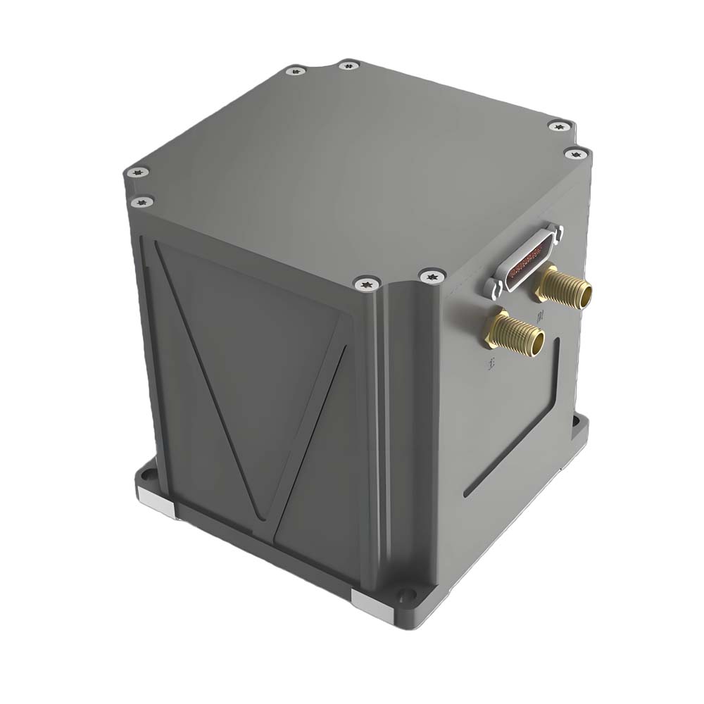
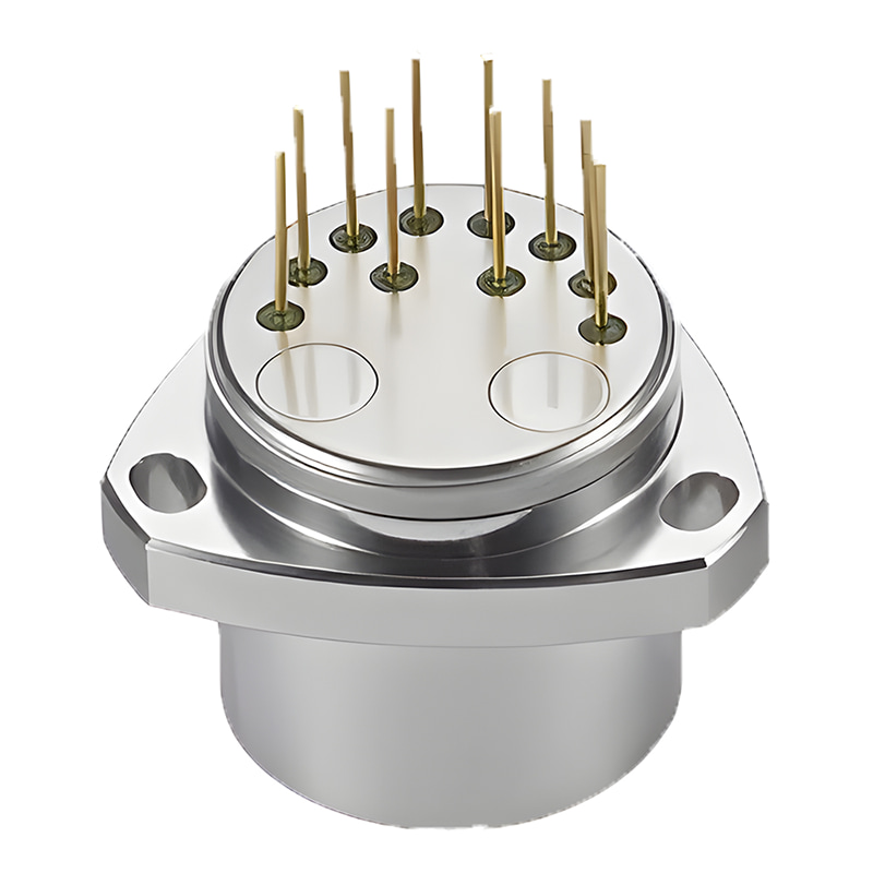
| 界面 | 电源和通信插座型号为J30J-25ZK,具有RS422、RS232、以太网和PPS输入/输出等接口,并可选配CAN接口。 | |
| 电源 | 额定电压24V直流,可适配12V~36V | |
| 功耗 | <15瓦 | |
| 整体尺寸 | 132毫米×116毫米×119毫米(不含插座和靠背) | |
| 重量 | 2.6公斤 | |
| 其他的 | 卫星定位模块可选择内置或外置两种方式。 | |
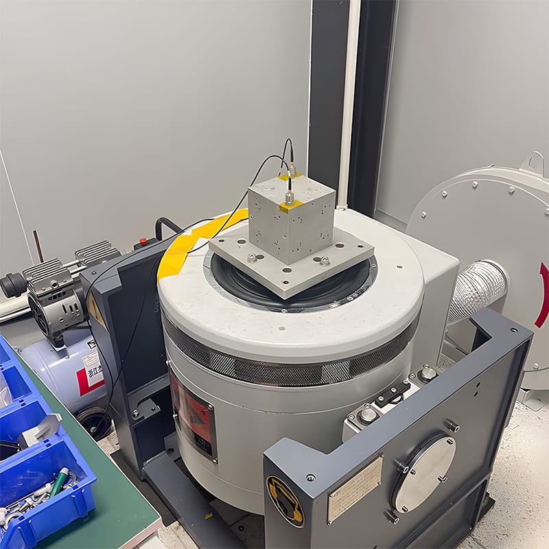
生产过程
产品尺寸

应用场景


常问问题


 CN
CN


 网络支持
网络支持